Farm Map: Draw, Measure and Pin Your Fields Over a Satellite View
A farm map in anee.io starts from a satellite view of your land. Trace each field, and the app tells you its area and the length of its sides. Drop pins on the pump or the drying area, save the map as your own, and use it in any season, on any lot.
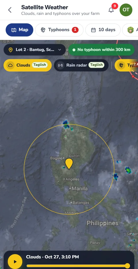
Draw and measure over satellite imagery
Open Maps, find your farm on the satellite view and trace the field with your finger. The app measures the area as you draw, so you know if that lot is really one hectare or closer to 0.8. Lines measure length, which helps when you plan a canal, a fence or the rows of a new orchard.
- Field shapes that show their area
- Lines that show their length, for canals, fences and paths
- Text labels to name each block
- Pins for a single place, like the pump, the gate or the drying area
Pins that lead the way
A pin remembers one place. Tap it and you can open that spot in Google Maps, which helps a new worker or a hired tractor driver find the right field on the first try.
Your farm map works in every season
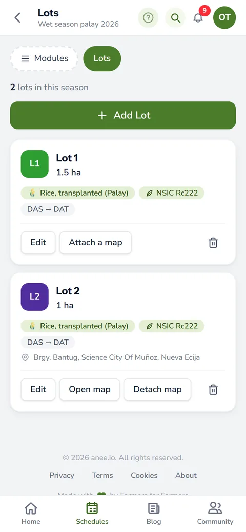
A saved map belongs to you, not to one season. Draw the farm once, then use it again next wet season and the dry season after that. Inside a season, attach a map to a lot so the lot carries its own outline. You can also tag a map in a note or on an activity, so the spray plan points to the exact block it covers.
Maps come with Libre + Anee, which keeps up to three maps. Solo Farmer and Farm Owner have no map limit.
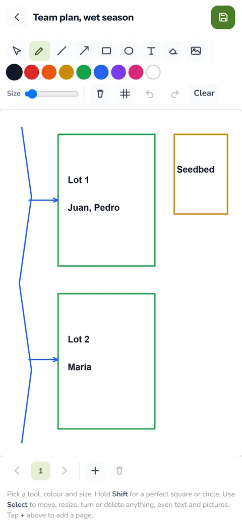
The team map in the Collab Room
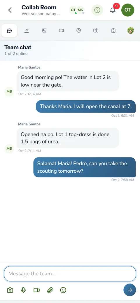
On the Farm Owner plan, each season has a Collab Room with a shared team map. Everyone working the season can draw on it and see the others' changes, so the owner in town and the foreman in the field look at the same picture. Save it as a map and it joins the season's maps. The farmer community page explains the rest of the Collab Room.
Maps and the rest of your season
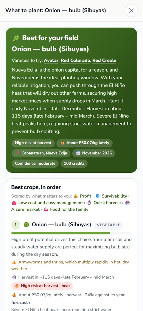
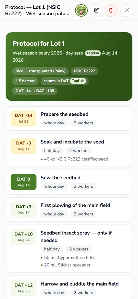
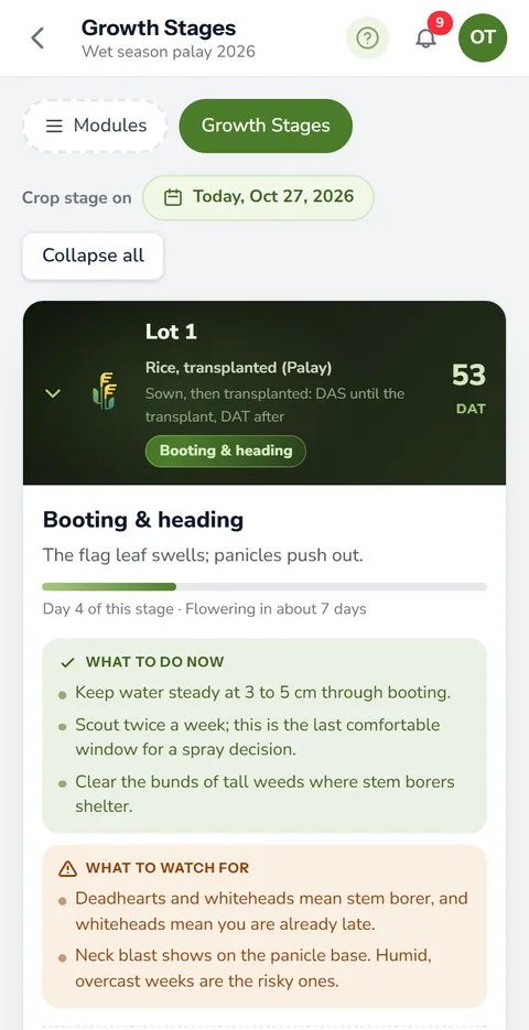
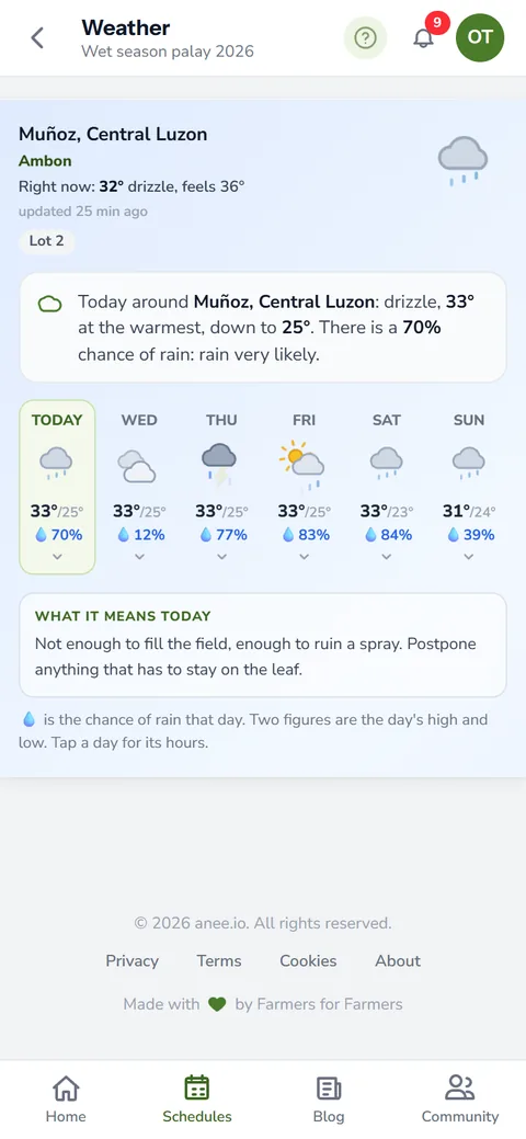
Pinned lots feed the rest of the app. The weather for each lot follows its location, so a farm with lots in two barangays gets two forecasts on growth stages and weather.
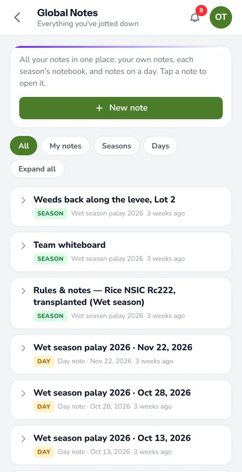
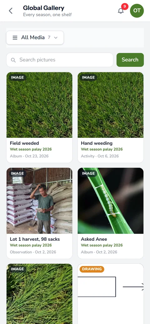
Saved maps and drawings from the Draw pad also show up in the gallery, and each links back to the note it belongs to. Open one from a note and closing it brings you back to that note. See notes, photos and voice for how the gallery works.
Trace the lot before you order fertilizer. A lot smaller than you thought means fewer bags, and our guide to fertilizer calculation shows how to turn the area into bags.
| Tool | What it gives you | Good for |
|---|---|---|
| Field shape | Area of the field | Lot size, seed and fertilizer needs |
| Line | Length | Canals, fences, paths, orchard rows |
| Pin | One exact place | Pump, gate, drying area, directions |
| Text label | A name on the map | Block names workers understand |
How the farm map helps your crops and your farm
- Know the real size of each field. The area from the map sets the right amount of seed, fertilizer and labor.
- Less waste from wrong areas. An over counted hectare buys bags you do not need, and an under counted one leaves the crop hungry.
- Show the way to anyone. Pins on the pump, the gate or the low spot guide workers and buyers to the right place.
- One map for every season. Draw it once and it serves every season after.
Choose Libre + Anee or a bigger plan and draw your first farm map today. Libre + Anee keeps up to three maps.
See the plans