How Can I Monitor Crop Health Without a Drone?
You can monitor crop health without a drone by walking each lot on a fixed schedule, checking leaves and stems at several spots, reading a leaf color chart for rice, setting simple traps and writing down what you find. Free satellite pictures can show which part of a big field to walk first. The farm app anee.io, built for Filipino farmers, keeps these checks in one season record with photos, growth stages and the weather.
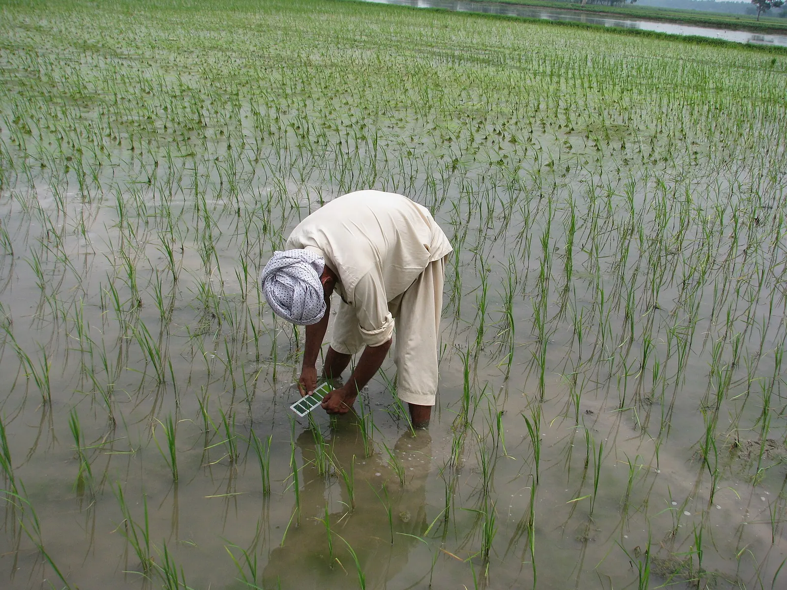
A drone shows a field from above, and that view helps on big farms. But the decisions still come from the plants: the eggs under a leaf, the color of the youngest leaves, the water in the paddy. None of that needs a machine in the air.
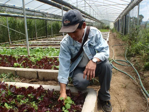
Good field practice says the same thing. Walk through the plots, measure with a ruler, count or weigh, and do not guess. Then write it down, because memory fails by the end of the season.
Key points
- Your eyes and a notebook are the main tools. A drone or a satellite only shows where to look.
- Monitor the field regularly from the early stage of the crop onwards.
- Cheap helpers do a lot: a leaf color chart, a ruler, sticky traps and your phone camera.
- Free Sentinel 2 satellite pictures show weak zones on bigger fields, about every five days when clouds allow.
- Records by lot and date turn single checks into a trend you can act on.
What can you see without a drone?
Each method below shows a different part of crop health. Most farms need two or three of them, not all six.
| Method | What it shows | Cost | Limits |
|---|---|---|---|
| Field walk | Pests, eggs, disease spots, weeds, water depth | Your time | Must cover several spots, not just the bund |
| Leaf color chart | When rice needs nitrogen | Low | Rice only, read on a schedule |
| Sticky, pan or light traps | Which flying insects are arriving | Low | Miss insects that do not fly |
| Phone photos of the same spots | Change from week to week | Free | Same spot and angle each time |
| Satellite pictures | Weak zones across a whole field | Free data, paid analysis in some apps | 10 m pixels, and clouds hide the field |
| Counts and notes | Trends and thresholds | Free | Only as good as you keep them |
How do you monitor crop health without a drone, step by step?
Map your lots and trouble spots
Mark the low spot that floods, the corner near the canal and the edge by the trees. Pests and disease often start there.
Walk on a schedule
Monitor regularly from the early stage onwards. Once a week fits, since the leaf color chart is read every 7 days anyway.
Check several spots
Cross the lot and stop at five or more places. The plants near the road do not speak for the middle of the field.
Read the leaf color chart
For rice, read it every 7 days from 14 DAT or 21 DAS until early flowering. Apply nitrogen if 6 or more of 10 leaves read below 4 in transplanted rice.
Compare with thresholds
Use the levels in the table below to decide if the damage is worth acting on.
Photograph and write
Take a photo at the same spots each visit and note the date, the lot and what you counted.
Confirm before you spray
Name the cause first. Then choose by active ingredient, and follow the label and the FPA registration.
| Problem | Act when |
|---|---|
| Weeds | Weeds cover over 5 percent of the field at 0 to 40 DAS in direct seeded rice, or over 10 percent at 15 to 40 DAT in transplanted rice |
| Rats | Over 5 percent of the field shows cut tillers, any time from maximum tillering to maturity |
| Golden apple snails | Over 10 percent of the area has missing or snail damaged hills at 14 DAT or DAS |
| Birds | Over 5 percent of the area has damaged panicles |
Do not spray for leaf eating insects within 30 DAT or 40 DAS. An early spray also kills the spiders that feed on planthoppers, and careless spraying upsets the balance between pests and their natural enemies.
What do traps tell you, and what do they miss?
Farmers can use a few simple traps. Sticky traps and yellow pan traps are cheap and show insects moving in. Light traps help compare one season with another, and pheromone traps catch the males of one pest, which tells you when it arrives.
But sticky, pan and light traps share one limit: they do not catch insects that cannot fly. So treat a trap as an early alarm, then walk the lot to see the nymphs, larvae and damage. Our guides to early pest detection and integrated pest management go further.
When is a satellite picture worth it?
Sentinel 2, a European satellite mission, photographs the Earth every five days at the equator, with 10 m pixels in its sharpest bands. Its data are free under the Copernicus open data policy. From the red and near infrared light, apps work out NDVI, a greenness score. NASA explains that values near 0.8 to 0.9 mean the densest green leaves, while 0.1 and below mean barren areas such as rock or sand.
A 10 m pixel cannot show one sick hill. So use a satellite picture to choose where to walk on a big field, then confirm on foot. Our guide to satellite images of my farm explains how to read one. In anee.io, Satellite Analysis reads the newest Sentinel 2 picture and Sentinel 1 radar of a field you draw, and Anee names the weak spots to check. It uses credits.
How does anee.io help you check crops without a drone?
Most of the work is the record. In anee.io, Quick Capture takes a photo and Quick Voice saves what you say as a note, filed with the season. The growth stages page gives each lot a watch list for its stage, so you know what to look for before you go out.
When you find something you cannot name, the pest and disease finders work from your crop and the damage you see. Or send Anee, the smart farm technician, a photo, and she answers with your lot, its stage and the weather in mind. Offline mode keeps notes working at the far lot, though Anee herself needs a signal.
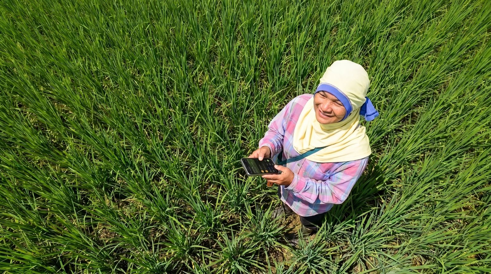
Add your lots, then save photos, voice notes and counts with the season. The free Libre plan is enough to begin.
Start free